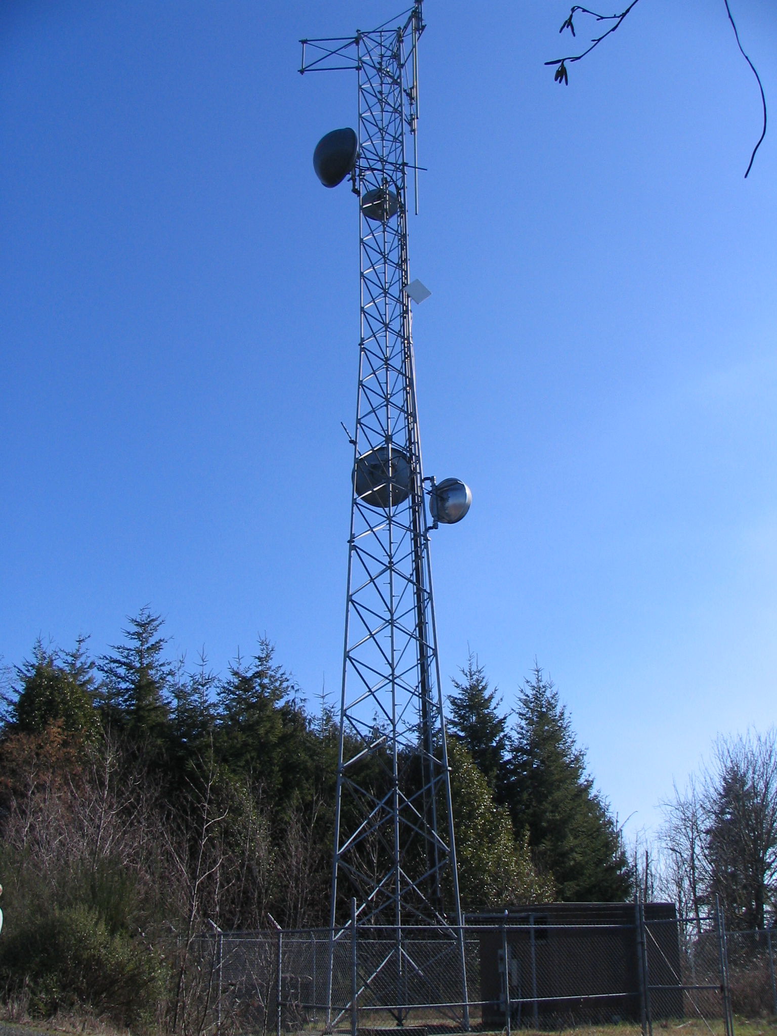
| Antenna Structure |
| Structure Type | TOWER - Free standing or Guyed Structure used for Communications Purposes | ||
| Location (in NAD83 Coordinates) | |||
| Lat/Long | 43-11-30.3 N 124-12-44.3 W | 0.9 miles up Howe Lane | |
| City, State | Coquille | ||
| Center of AM Array | |||
| Heights (meters) | |||
| Elevation of Site Above Mean Sea Level | Overall Height Above Ground w/o Appurtenances | ||
| 188.1 | 327.4 | ||
| Painting and Lighting Specifications | |||
| FAA
Chapters 4, 5, 13 Paint and Light in Accordance with FAA Circular Number 70/7460-1H | |||
| Owner & Contact Information |
| FRN | 0001801307 | Licensee ID | L00011781 |
| Owner | |||
| LITCHFIELD
COUNTY CELLULAR INC 6915 Harrodsburg Road Nicholasville, KY 40356 |
P: (859)885-5500 | ||